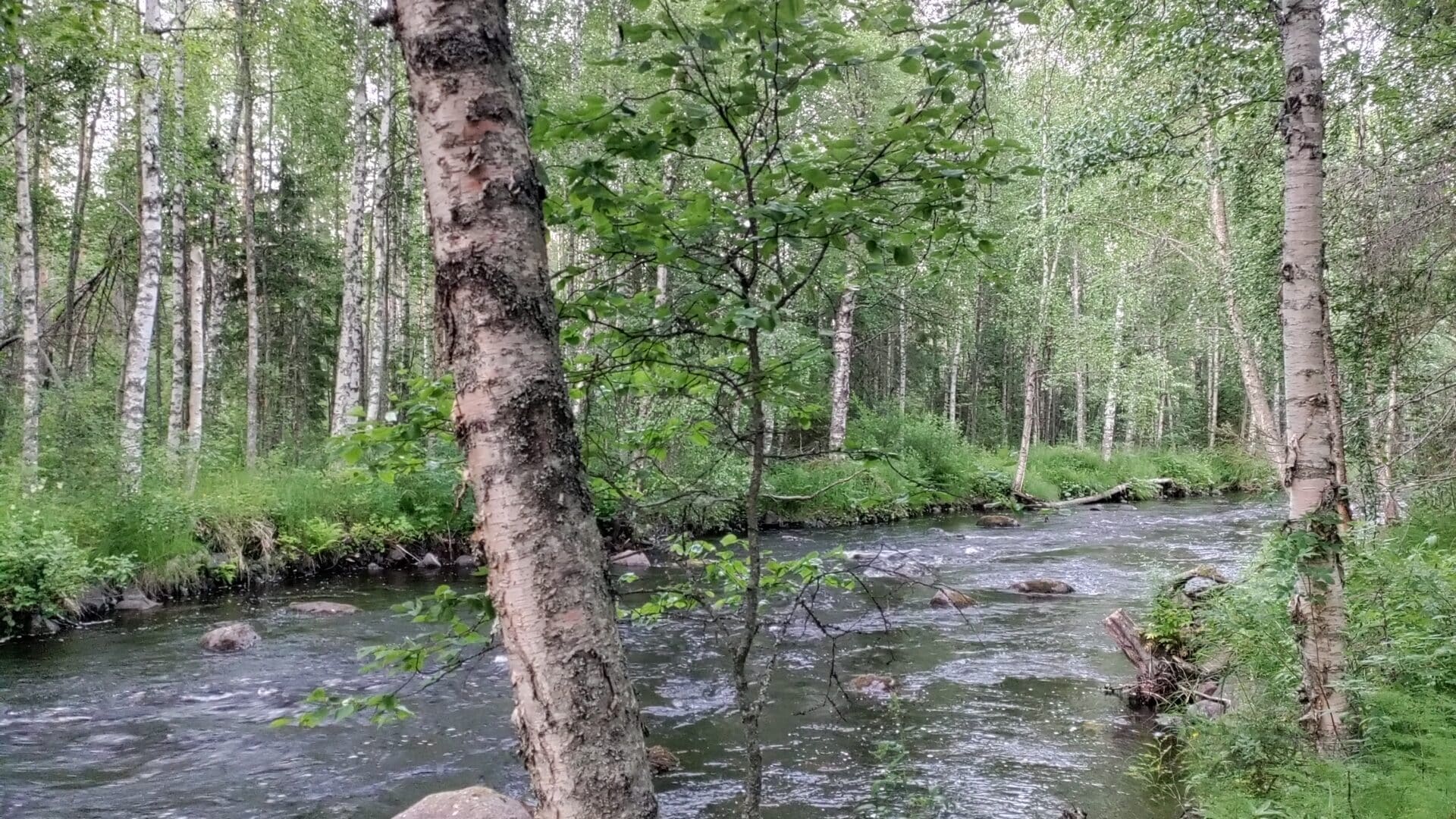
Kuhmo has numerous water areas managed by Metsähallitus, along with campfire shelters located by stunning fishing waters. These sites are connected by water and shoreline hiking trails. Before heading to these locations, it’s important to check the fishing permit regulations. Be sure to visit these websites before starting your adventure.
Fishing Permit 5411 – Northern Ostrobothnia and Kainuu
This permit covers fishing in flowing waters and allows fishing with multiple rods in lakes, as well as ice fishing with multiple rods.
From the link below, you can purchase the permit, find the permit conditions, and view the map of permit areas.
https://www.eraluvat.fi/kohteet/5411-pohjois-pohjanmaa-ja-kainuu-517/tuotteet
Fishing Gear Permit 5005 – Kuhmo
This permit covers the use of fishing gear in lake areas.
From the link below, you can purchase the permit, find the permit conditions, and view the map of permit areas.
State Fisheries Management Fee
No permit is needed for fishing with a rod or ice fishing with a single rod.
Fishing with one rod from the shore or a boat requires a permit.
From the link below, you can find more information about obtaining a permit, whether you are required to pay the fisheries management fee, and which types of fishing require the fee.
You can check fishing permit areas on the Retkikartta website.
Go to https://www.retkikartta.fi/.
Select the map layer from the right side of the page.
Open the “Hunting and Fishing” section.
Check the box for “Fishing Areas” and select only “Free areas.”
At the bottom, there is a map legend that, when opened, shows the meaning of the area markings on the map.
Fishing Restrictions, Minimum Sizes, and Bans
There may be fishing restrictions in water bodies, including fishing bans or other limitations in the area. It’s important to check restrictions and exceptions set by the ELY Centre at https://kalastusrajoitus.fi/.
On the website, click on the desired location on the map. The site will display information about the area on the side panel. By selecting the information menu and choosing “Visible Restrictions,” you can see the map’s codes and the meaning of colors.
Please note that restrictions set by fishing associations, Metsähallitus, and private water area owners are not shown on this site! Always verify permits and rights related to the area beforehand. More information about fishing associations and their water areas can be found at:
https://kalallakainuussa.fi/yhteystieto/kuhmon-kalastusalue/